


 Newsletter
 Online Store


How Far is the Next Checkpoint? (Or Does My GPS Tell the Truth?)
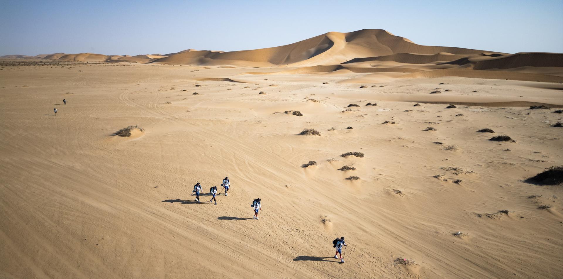
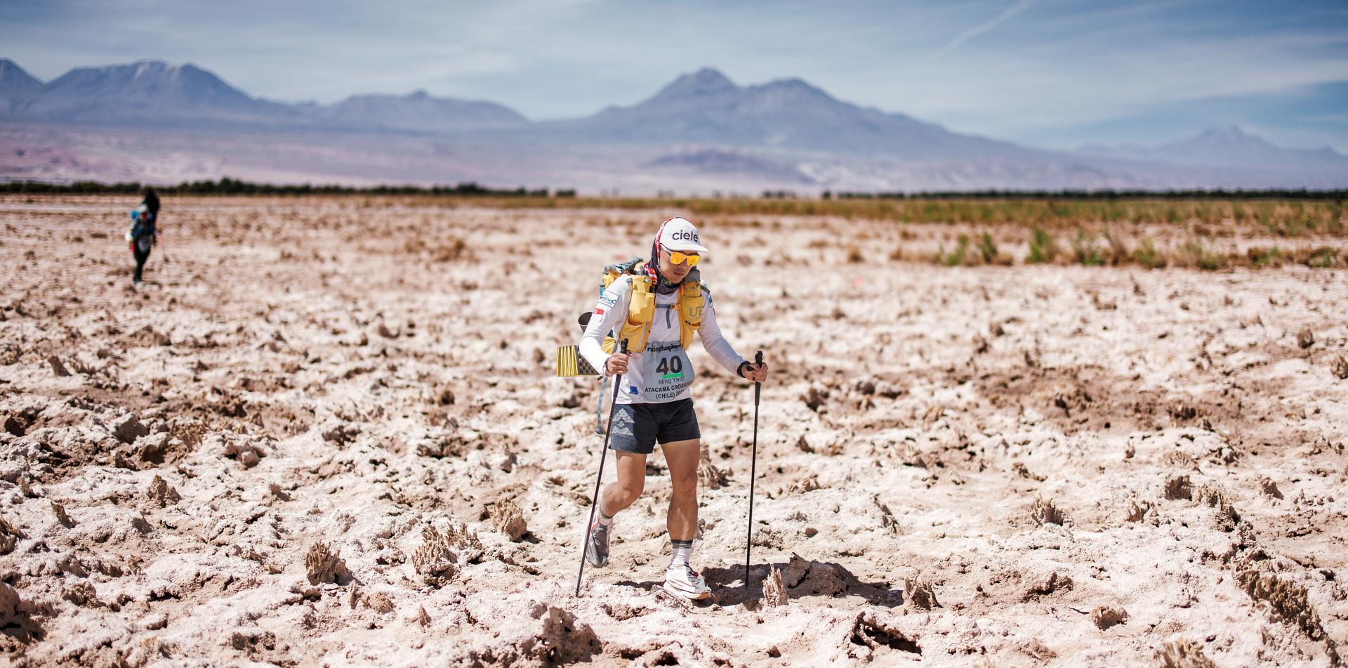
The weary runner comes into a checkpoint (in the Sahara or the Gobi or the Atacama desert), fills his water bottles, has a quick snack, tends his blisters and asks the eternal question: “how far is the next checkpoint?” The checkpoint volunteers, well-briefed as always, provide the answer.
Hours later, the even wearier runner staggers across the finish line for the day. “That last section was the longest 12 kilometres I’ve ever run,” he says, “my GPS made it at least 13.” Is it possible the course team have got it wrong?
To get to the bottom of these wayward measurements, RacingThePlanet commissioned two of our experienced Course Directors, Dave Annandale (RacingThePlanet Vietnam 2008 and RacingThePlanet Namibia 2009) and Carlos Garcia (Sahara Race 2009 and RacingThePlanet Australia 2010) to perform a field test. They undertook this in November along the hilly coastal paths above the Mediterranean near Portofino in Italy.
")
The table below shows the varying measurements of the five different GPSs they took with them as they marked their course. The conditions for these 5 GPSs were the same, i.e. WAAS activated (see footnote 1) and with WGS 84 map setting (see footnote 2). Most of the time their GPSs picked up between 9 and 14 satellites; the lowest number acquired was 7.
You can see that over their course the GPSs measured a total distance ranging from 17.5 kms to 19 kms, and different GPSs measured the longest distance at different stages.
Apart from the intrinsic quality of the different GPSs, there are a number of possible reasons for this. These include:
1. Multipath, i.e. where the radio signal is reflected off a nearby object or cliff rather than reaching the receiver direct, thereby calculating the wrong satellite position.
2. Selective Availability, i.e. the deliberate slight inaccuracy introduced into the satellites’ public, unscrambled signal so that the consumer does not have the same accuracy as the military.
3. Ionospheric errors, i.e. the affect of the earth’s atmosphere on the speed of the radio signal from the satellite.
4. Satellite acquisition – a wristwatch style GPS may only pick up 5 satellites, sometimes less. 5 satellites is the absolute minimum required for a “good fix”.
For all these reasons the RacingThePlanet course directors use at least 2 but often 3 quality GPS units and they provide the best estimate that they can of stage distances. So when the Checkpoint team tells you it’s 12 kms to the next Checkpoint, what they really mean is: “Based on WAAS and WGS 84 but subject to no multipath syndrome or ionospheric error and allowing for selective availability, we believe the distance to be 12 kms.” So plan your water intake accordingly!
There was one final test our intrepid Course Directors undertook. On their return to Portofino they placed a GPS stationary on the balcony as they recuperated with parmesan cheese and Chianti. One hour later they checked the GPS. It had moved 200 metres. Perhaps it was the Chianti. Or perhaps the whole of Italy is on the move.
Footnotes:
(1) WAAS stands for “Wide Area Augmentation System”, which is essentially a system of satellites and ground stations that provide GPS signal corrections, providing greater position accuracy.
(2) WGS stands for “World Geodetic System” which comprises a standard coordinate frame for the earth, a standard spheroidal reference surface and a gravitational equipotential surface (the geoid) which determines the nominal sea level.
WGS 84 is the latest version, dating from 1984 and last revised in 2004.