


 Newsletter
 Online Store
 Login
Login


RACE INFO

RACE INFO
The Geological Wonders of Atacama
The Atacama desert is characterized by an array of geomorphological formations that define part of the beauty of this amazing place. During the race you will see some of the most characteristic and important formations so it’s worth knowing about them in a bit more detail.
In Stage 1 you will cross el Valle del Arcoíris (Rainbow Valley) at the Río Grande basin. The name comes from the many colours created by the clay, minerals and salts of the land. Reds, beiges, greens, whites and yellows, illuminated by the desert sun, show the richness of the earth.

In this valley you will pass by the Yerbas Buenas petroglyphs, an impressive rocky outcrop with many carvings including depictions of alpaca and llama figures, and other regional animals like birds, foxes and humans. Carved about 10,000 years ago, in the pre-Columbian era, their origins are not clear. Some are believed to have been carved as route signs by the indigenous caravans that crossed from Argentina and the Bolivian highlands to reach the Pacific Ocean, although they may also have been carved by yaris, or shamans, of past civilizations.

Moving on, in Stage 2 you will cross el Valle de la Muerte (Death Valley). It gained its name because it was believed that those who tried to cross el Valle de la Muerte died in the attempt. The proof lies in the bones of animals and people that can be found in the valley (or so it is said). Due to its aridity, Death Valley is considered one of the most inhospitable places on earth as no plants or insects can live here, a fact that contributes even more to its sinister name. This valley is also characterized by strange geomorphological and topographic formations where natural sculptures and sand dunes abound.
")
On the third day of the race you will see the biggest astronomical project in the world, the Atacama Large Millimeter Array (ALMA), comprising 66 radio telescopes located on the Chajnantor plateau which sits at an elevation of 5,000 m / 16,000 ft. An international partnership between 20 countries from Europe, North America, East Asia and Chile, ALMA has been fully operational since 2013.

The Licancabur volcano, which seems to be always in sight, is the “king” of the race. A holy mountain for the Atacameño people, its name literally translates as “the mountain of the people” – Lican = pueblo = people; Cábur = montaña = mountain. It has a prominent 5,916-metre high cone and a 400-metre summit crater containing Licancabur Lake, the fifth highest lake in the world. Its presence is especially felt during Stage 4.

Also on Stage 4 you will cross the Salar de Atacama, the largest salt flat in Chile. It is formed by a depression with no drainage outlets, and water from the San Pedro River and multiple gullies where the water is filtered from the mountains. The salt comes from the dissolution of the ground salts that are carried by the water. Then, the water evaporates and the salts accumulate in the plains.

Under the Salar is a hidden lake covered by a thick layer of salt. This layer opens up in certain areas, allowing the water to arise and form shallow lakes that are the perfect habitat for flamingos and other birdlife. In fact, some areas of the salt flat are part of Los Flamencos National Reserve.
It is also worth mentioning that the Salar is the world's largest and purest active source of lithium, containing 27% of the world's lithium reserve base, and part of the lithium triangle together with Argentina and Bolivia.
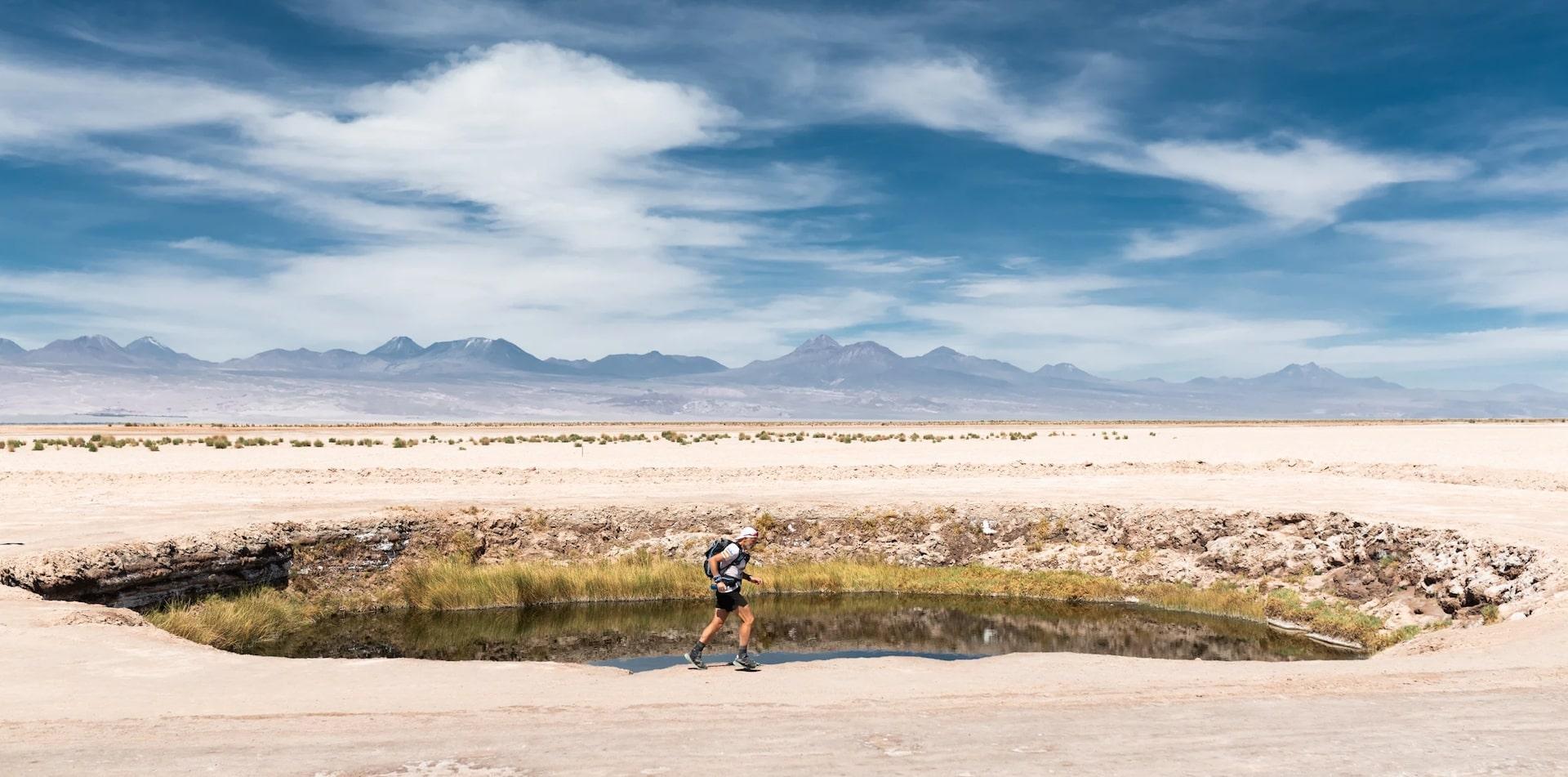
The heat of the desert will invite you to jump at los Ojos del Salar (the eyes), two lakes unlike others in the area as they are deep, cool and of fresh water. They were formed when the ground salts dissolved and the layer collapsed in an area with less salty water.
")
Arriving at Camp you will reach another important lake in the area, la laguna Tebinquinche, where flamingos honour us with their presence and beauty.
On the Long March, Stage 5, you will reach the moon, almost literally. El Valle de la Luna (Moon Valley) is a depression surrounded by dunes and hills with sharp ridges at the Cordillera de la Sal (Salt Mountains). This incredible place is made of stones and sand formations. Over the millennia, floods and winds have given a series of colours and textures to the desert that resemble the surface of the moon. Sharp landscapes, beauty, colours, silence and a lack of humidity, flora and fauna are the main characteristics of this place.

Finishing your adventure, you will reach the finish line at the main square of San Pedro de Atacama, home to a whitewashed adobe church built in 1557. This village has an ancient tradition stretching back 11,000 years, and a rich historical and archaeological heritage. Make sure to leave some time for a stroll around this special town to enjoy its spirit and culture.
